
Who it is for
Who GridReady is for
If land nav is a graded event in your future, or you want to read a topographic map properly, this is for you.
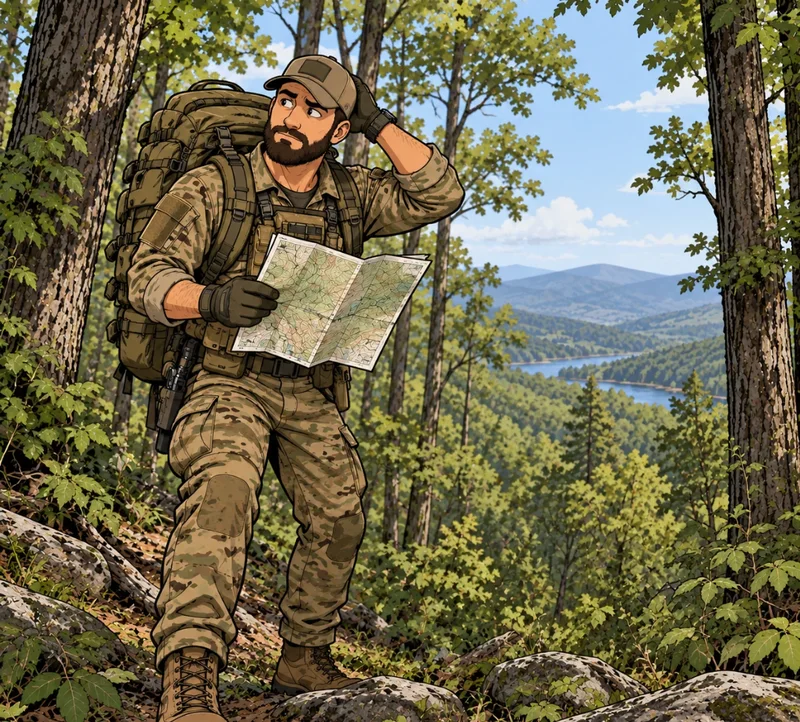
Candidates
Selection and schools
Special Forces Assessment and Selection, Ranger selection and RIP, Special Operations selection in every branch, Air Assault, Officer Candidate School and cadet land nav tests, and similar.
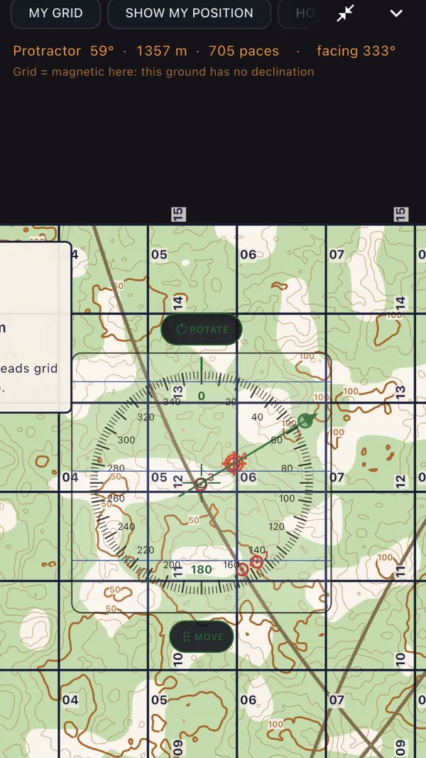
Fitness gets you to the point. Fundamentals get you to the right point. GridReady teaches back azimuths, declination, pace count, terrain association, and drift, then has you practice them in the simulator and on real ground.
Soldiers and cadets
A test date and no lane
Soldiers, cadets, and Guard and Reserve members who have to pass a land nav test and do not have the time or the terrain to practice.
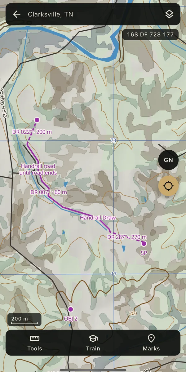
Run the lessons at night, practice in the simulator on breaks, and plan problems on real maps. Then use the same skills with a real map and compass.
Civilians
Hunters, hikers, search and rescue
Anyone who wants to read a topographic map and use a compass properly. The same doctrine that trains soldiers works on a hunting unit or a trail system.
Use it as a GPS topo map in the backcountry, and learn to do the same thing with a map and compass when the phone dies.
Start with the fundamentals
Subscribe on the web and unlock the app.