
How it works
Learn. Simulate. Plan. Walk.
The same loop a good instructor runs on a land nav course, without needing the course.
Short lessons in teaching order, taught to TC 3-25.26. Illustrations show map crops beside terrain, after the answer.
Stand on the ground in Gridland, a 3D training world. Plot your point on the map, then find it on the ground.
Create a problem on a real map. Get your objective grids, plot them, and plan each leg. Your plan is scored leg by leg.
Take the problem outside and walk it with the GPS walk.
Then you go back to the lesson the score points to. That is the loop.
Phase 1
Learn the skill in the order it is taught
Lessons start with the map sheet and its marginal information and end with what to do when you are lost. Each one is short enough to finish between other things.
Every lesson has training-poster illustrations: a topographic map crop paired with a photo of the same kind of ground. The picture appears after you answer, so it teaches instead of giving the answer away.
Phase 2
Practice in the simulator
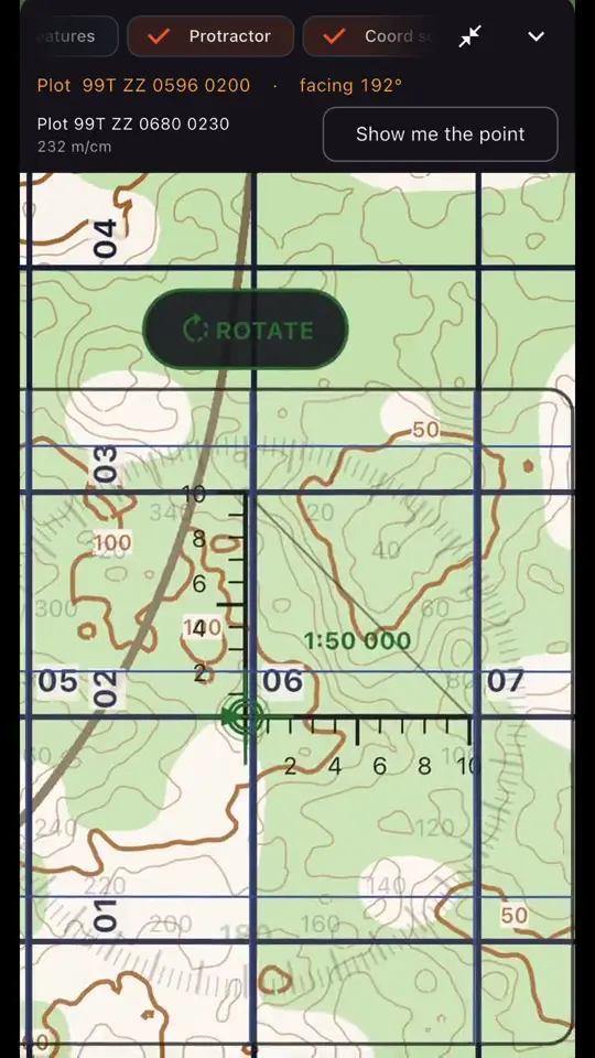
The simulator gives you a first-person view of Gridland next to its map sheet. Plot your point, then find it on the ground.
Phases 3 and 4
Then put it on the ground
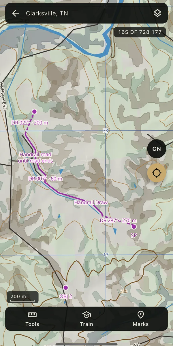
Create a problem on a real map. Pick a start point, box your area, and get your objective grids. Plot each one and check it, then plan every leg: dead reckoning, handrails, terrain association, attack points, and backstops.
Your plan is scored leg by leg, with the reason for every check in plain English. Then walk it with the GPS walk.
Start the loop
Subscribe on the web and unlock the app.